and
and 
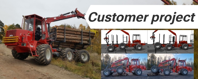
How GNSS RTK helps forestry machines drive stable on rough terrain
Researchers at Umeå University tested how RTK GNSS can support artificial intelligence (AI) control systems in large forestry machines (full article is available here). The goal was to check if a vehicle control system trained only in computer simulation could work directly on a real 31-ton forestry forwarder without further tuning — a process called […]
How GNSS RTK helps forestry machines drive stable on rough terrain Read More »