and
and 
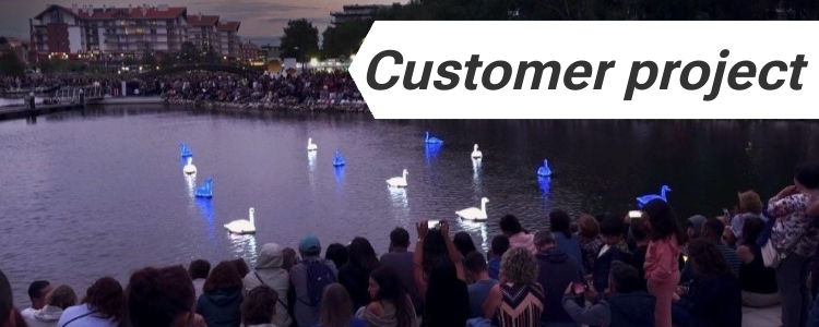
Transforming Electric Swans into Water Ballet Performers
Imagine trying to choreograph a group of robotic swans to perform a delicate ballet on water. That’s exactly what Loomaland, a studio known for blending art with technology, set out to achieve with their CYGNUS project. However, what happens when technology falters in the face of environmental challenges? The initial performance on Lake Lucerne was […]
Transforming Electric Swans into Water Ballet Performers Read More »