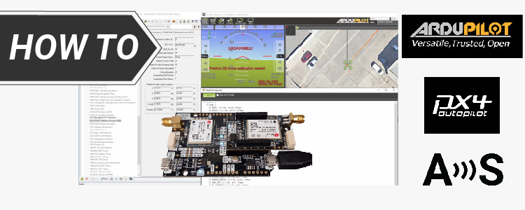
Looking at the official Ardupilot forum we found many users having problems configuring their simpleRTK2B Heading with their ArduPilot. After some testing we prepared ...
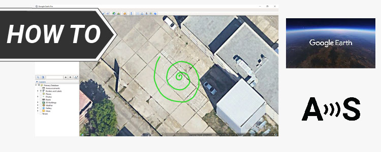
In this tutorial we will show you how to visualize real-time positioning and tracking data in Google Earth with your simpleRTK2B series receiver. Required ...
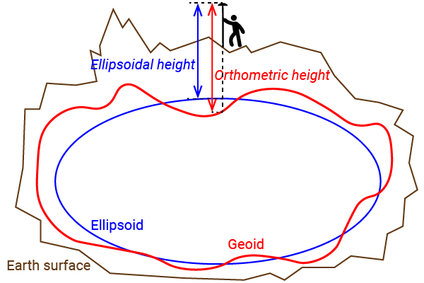
Many customers get confused with the different heights (altitude) reported by their GNSS receiver.In this post we will show the concept of each one ...
Post-Processed Kinematic (PPK) is an alternative to Real-Time Kinematic (RTK) for accurate positioning. Unlike RTK, PPK uses post-processing algorithms after data collection. Both the ...
1. Our engineering team will contact you to solve any questions
2. We will keep you updated about promotions and new product releases
3.You will only hear from us when we have important news, we won’t spam your email
 and
and